Are you excited about GIS day?
Every year, people from around the world celebrate GIS Day.
This year, it’s scheduled for Wednesday, November 16, 2022.
But what exactly is GIS day? What are some ideas for GIS Day?
Let’s adventure into the one day of the year dedicated to the emerging technology of Geographic Information Systems.
The Countdown begins
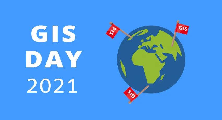
GIS Day 2022
Wednesday, November 16, 2022
What is GIS Day?
GIS day is a worldwide event that celebrates the technology of Geographic Information Systems (GIS). Ralph Nader inspired GIS Day as a day for geography awareness.
The first-ever GIS Day was held on November 19, 1999, during Geography Awareness Week from November 14-20, 1999.
But it was actually the National Geographic Society, Association of American Geographers (AAG), and Esri, who really put the day into action on November 19, 1999.
More specifically, the National Geographic Society organized Geography Awareness Week each November in 1987. Since then within that week of geo-literacy, GIS Day typically occurs.
| Year | Date |
|---|---|
| 2016 | Wednesday, November 16 |
| 2017 | Wednesday, November 15 |
| 2018 | Wednesday, November 14 |
| 2019 | Wednesday, November 13 |
| 2020 | Wednesday, November 18 |
| 2021 | Wednesday, November 17 |
| 2022 | Wednesday, November 16 |
Geo-inspiration for GIS Day 2022

In short, GIS is the technology that best understands ‘where’. In other words, GIS can capture, display, and analyze location data to help make powerful decisions.
For example, GIS helps understand where best to build a wind farm, predict areas of flooding, or plan the most efficient bus route.
Whether it’s in the classroom educating real-world GIS applications or in the field capturing GPS points, there are hundreds of fun activities that you can do on GIS Day in 2022:
GEOCACHING – Pull out your GPS or phone because it’s time to go geocaching. This is a fun activity that you can include anyone where you track down treasures.
OPENSTREETMAP – The OpenStreetMap movement has the power to move mountains (literally). Join the OpenStreetMap team, and map out your part of the world. Who knows, you could even learn something new about it.
SATELLITE VIEWING – Silently, satellites orbit our Earth for a range of remote sensing applications & uses. If you don’t have a telescope, then you can use your phone as a satellite augmented reality app. Point it to the sky and discover new satellites.
GOOGLE EARTH – Who doesn’t like to spin the globe in Google Earth? Now, the location-based application built by Google lets you tour the world without physically being there.
ESRI STORY MAP – Whatever it is that you decide to do on GIS Day, tweet it for the world to see. Of course, Esri will add it to their GIS Day story map to see where and how many are involved in the celebration. Alternatively, find the closest GIS Day event to you.
READ MORE: Best of GISGeography.com
How will you celebrate GIS day?
Whether it’s in the classroom or out in the field…
GIS Day is when you remember how powerful the idea of “where” truly is.
What are some ways that you can celebrate?
Let me know with a comment below.