ArcGIS显示复杂标注
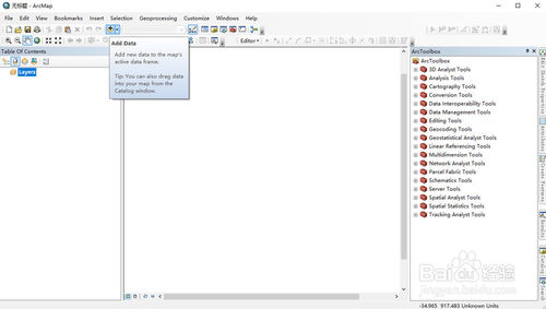
打开ArcMap软件,点击Add Data,添加需要显示标注的图层。
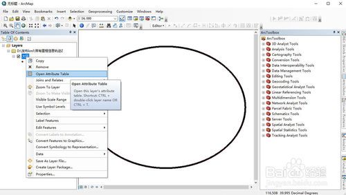
在图层上右键,选择Open Attribute Table,打开属性数据表。
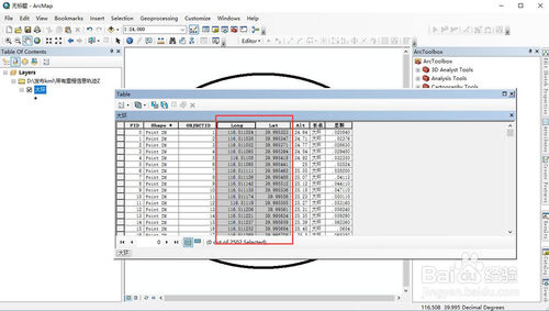
在属性数据表中查看,本次实例显示经度和纬度。
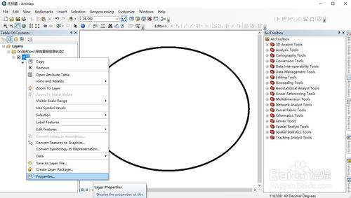
在图层上右键,选择Properties…,打开属性对话框。
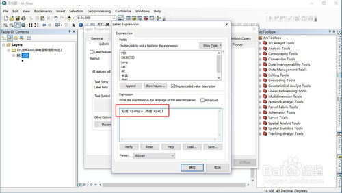
在属性对话框中,查看Labels标签,勾选Label Features in this layer,然后点击Expression按钮。
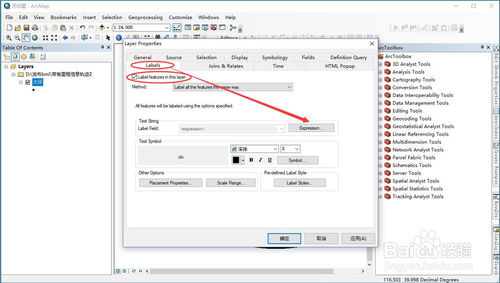
在Label Expression对话框中输入
“经度”+[Long] + “,纬度”+[Lat]
点击确定。
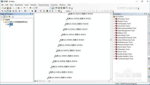
效果可见,每一个点位都显示了经度和纬度的合集。
END
转载自:https://jingyan.baidu.com/article/f25ef2548cc742482d1b824e.html