geoTools使用实例-helloworld
geoTools是开源的Java GIS工具包,利用它提供的接口,我们可以编写自己的一个地理信息显示查询软件。
记录一下使用geotools的helloWorld程序。
首先,下载geotools的jar包,https://sourceforge.NET/projects/geotools/files/,里面有各种版本的geotools
jar包,我选择的是16版本的。
然后,在eclipse里新建一个Java项目,然后将下载的jar包全部加入到lib中。
再新建一个class,写入下面的代码:
- import java.io.File;
- import java.nio.charset.Charset;
- import org.geotools.data.FileDataStore;
- import org.geotools.data.FileDataStoreFinder;
- import org.geotools.data.shapefile.ShapefileDataStore;
- import org.geotools.data.simple.SimpleFeatureSource;
- import org.geotools.map.FeatureLayer;
- import org.geotools.map.Layer;
- import org.geotools.map.MapContent;
- import org.geotools.styling.SLD;
- import org.geotools.styling.Style;
- import org.geotools.swing.JMapFrame;
- import org.geotools.swing.data.JFileDataStoreChooser;
- public class Main {
- public static void main(String[] args) throws Exception{
- // GeotoolsTest geotoolsTest = new GeotoolsTest();
- // geotoolsTest.showMap();
- File file = JFileDataStoreChooser.showOpenFile(“shp”, null);
- if (file == null) {
- return;
- }
- FileDataStore store = FileDataStoreFinder.getDataStore(file);
- //中文转码,避免乱码
- ((ShapefileDataStore) store).setCharset(Charset.forName(“GBK”));
- SimpleFeatureSource featureSource = store.getFeatureSource();
- // Create a map content and add our shapefile to it
- MapContent map = new MapContent();
- map.setTitle(“Quickstart”);
- Style style = SLD.createSimpleStyle(featureSource.getSchema());
- Layer layer = new FeatureLayer(featureSource, style);
- map.addLayer(layer);
- // Now display the map
- JMapFrame.showMap(map);
- }
- }
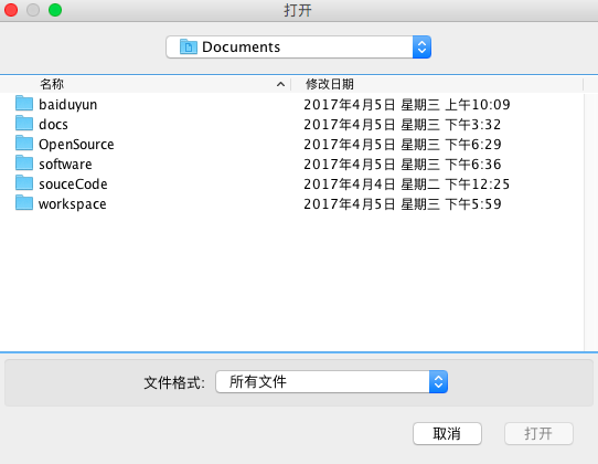
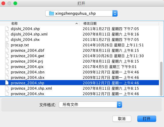
点击运行后,会弹出文件选择对话框,这时选择在网上下载的shp文件:


点击打开后,会弹出地图显示框:
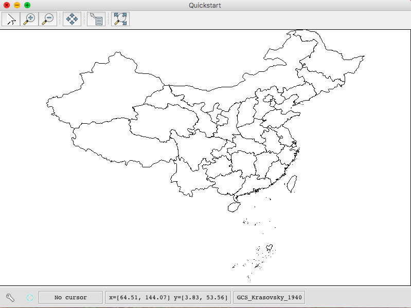

显示框的上面是缩放、目标选择、漫游等的功能键。显示框下方的x= ,y= ,是当前鼠标位置的坐标,最右侧是参考系。
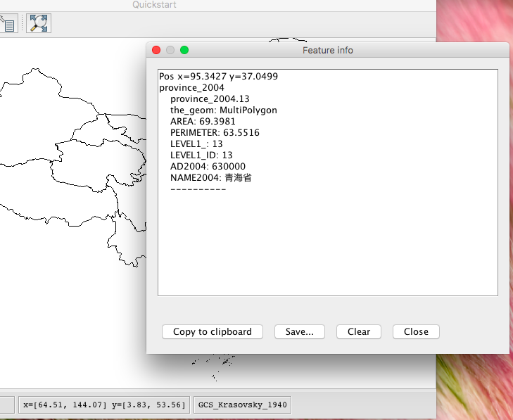
点击目标选取工具(上排倒数第二个按钮)后,再次点击一个目标,即可显示目标信息对话框:

helloWorld就完成了。
转载自:https://blog.csdn.net/u010476739/article/details/76284120