ArcGIS小知识(二)——计算四至点坐标(arcgis)
四至点坐标,即左上经、左上纬、右下经、右下纬(在地理坐标系下,计算的是经纬度,否则是6位数的那种投影坐标)
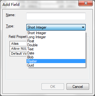
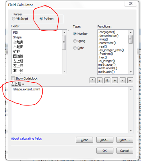
ArcGIS中求多边形的四至点可以直接根据字段计算器,利用Python语句直接求得
minX = !shape.extent.xmin!(输入时不用等号“=”前面的minX或MaxX等,直接用两个叹号和中间的。前面也不要有空格)
maxX= !shape.extent.xmax!
minY= !shape.extent.ymin!
maxY = !shape.extent.ymax!

转载自:https://blog.csdn.net/liukunrs/article/details/80217189