GTOPO30
GTOPO30 is a Digital Elevation Model (DEM) dataset with a horizontal grid spacing of 30 arc seconds.
Note
An example of a GTOPO30 can be found at http://edc.usgs.gov/products/elevation/gtopo30/gtopo30.html
Adding a GTOPO30 data store
By default, GTOPO30 will be an option in the Raster Data Sources list when creating a new data store.
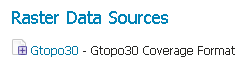
GTOPO30 in the list of raster data stores
Configuring a GTOPO30 data store
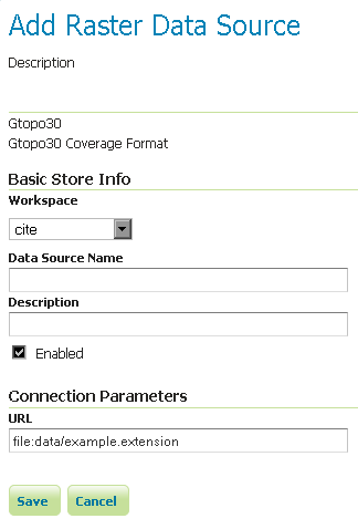
Configuring a GTOPO30 data store
| Option | Description |
Workspace |
|
Data Source Name |
|
Description |
|
Enabled |
|
URL |
Previous: GeoTIFF
Next: WorldImage