Openlayers Demo:


 1 <html>
 2 <head>
 3   <title>OpenLayers Example</title>
 4     <script src="OpenLayers.js"></script>
 5     </head>
 6     <body>
 7     <style type="text/css">
 8     .Third{
 9         margin: 10px 0;
10         padding: 6px 20px;
11         font-family: 'Microsoft Yahei';
12         margin: 15px 0;
13         font-size: 16px;
14         color: fff;
15         background: #C6EFD2;
16         color: #999;
17         border-radius: 4px;
18         clear: both;}
19     .Highlighter{
20         border: solid 1px #ccc;
21         clear: both;}
22 </style>
23       <div class="Third"><h1>欢迎来到我的世界!</h1></div>
24       <div class="Highlighter" style="width:100%; height:100%" id="map"></div>
25       <script defer="defer" type="text/javascript">
26         var map = new OpenLayers.Map('map');
27         var bounds = new OpenLayers.Bounds(
28                     -124.73142200000001, 24.955967,
29                     -66.969849, 49.371735
30                     );
31         var wms = new OpenLayers.Layer.WMS( "WMS Layer",
32             "http://localhost:8080/geoserver/topp/wms", {LAYERS: 'topp:states'} );
33         //var osm = new OpenLayers.Layer.OSM();
34         //map.addLayer(osm);
35         map.addLayer(wms);
36         map.zoomToExtent(bounds);
37         //map.zoomToMaxExtent();
38       </script>
39 </body>
40 </html>
View Code
Openlayers版本:OpenLayers-2.13.1
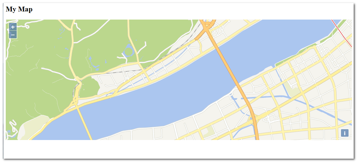
效果截图:


阅读:
OGC标准地图服务介绍 http://blog.csdn.net/wildboy2001/article/details/7743350