ArcGIS数据导入到PostGreSQL并发布到GeoServer
目录
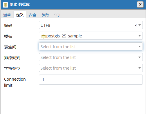
创建PostGreSQL数据库
1、 指定模板template0,创建库中只有public模式
create database [数据库名] withtemplate=template0;
例:create database postgis_sample with template=template0;
2、 切换到新建数据库
\c postgis_sample;
3、 添加空间扩展
CREATE EXTENSION postgis;–导入postgis空间扩展(需要把spatial_ref_sys表创建到public模式中,否则从arcgis导入数据会报错,arcgis导入数据只能导入到postgres模式中)
CREATE EXTENSION pgrouting;
CREATE EXTENSION postgis_topology;
CREATE EXTENSION fuzzystrmatch;
CREATE EXTENSION postgis_tiger_geocoder;
CREATE EXTENSION address_standardizer;
4、创建模式
create schema [模式名];
例:create schema postgres;–(从ArcGIS Catalog连接PostGreSQL数据库导入数据时,数据库中必须有postgres模式。)
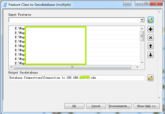
数据导入PostGreSQL
1、 添加PostGreSQL数据库链接
在Catalog中“新建数据库链接”
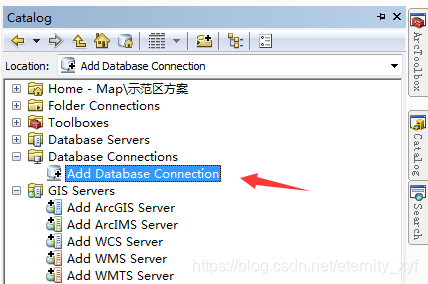
输入用户名、密码,以及要连接连接的数据库(注意,该数据库中必须有“postgres”命名的模式,在数据导入时导入到该模式,否则无法导入)

2、 导入数据

geoserver发布数据
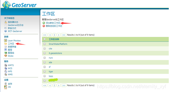
1、 新建工作区

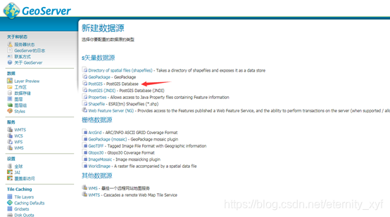
2、 添加新的数据存储
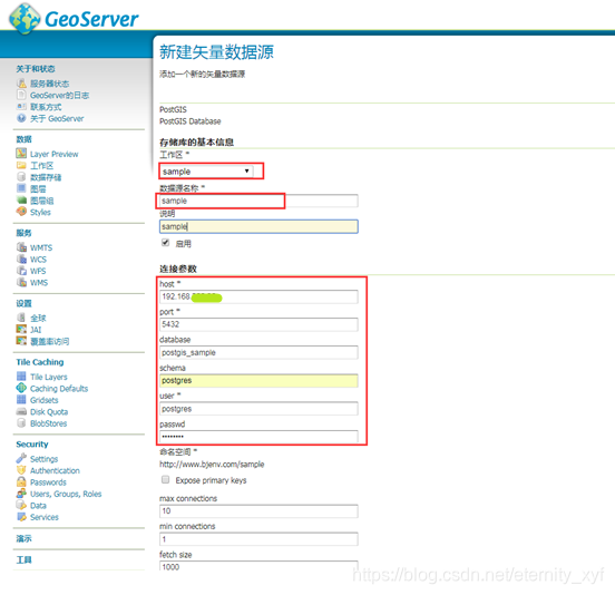
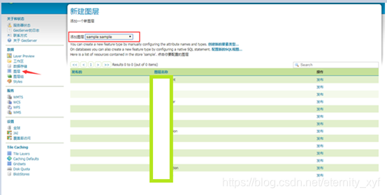
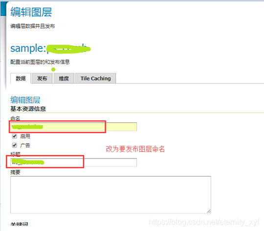
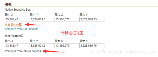
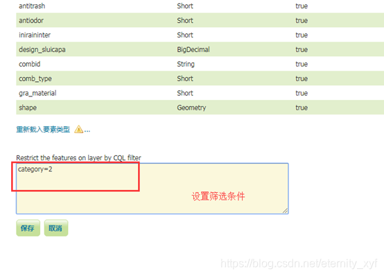
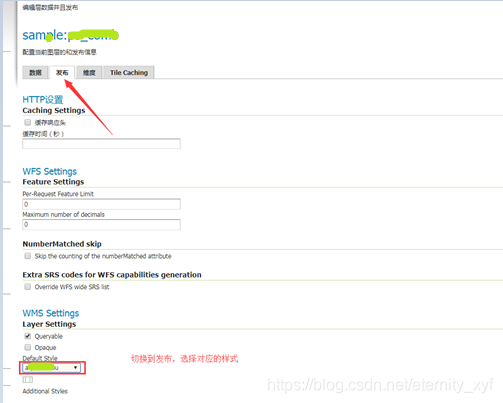
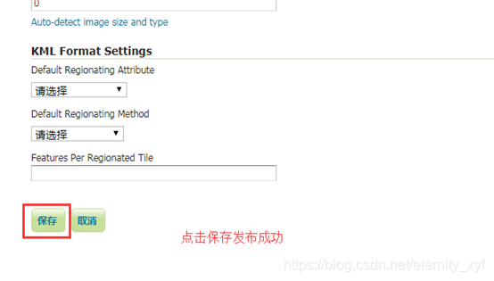
3、 保存数据存储,发布服务,选择要发布的图层
转载自:https://blog.csdn.net/eternity_xyf/article/details/80168029