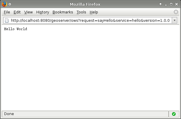
geoserver 增加marker
<html xmlns="http://www.w3.org/1999/xhtml">
    <head>
        <title>Draw Feature Example</title>

        <link rel="stylesheet" href="http://dev.openlayers.org/releases/OpenLayers-2.10/theme/default/style.css" type="text/css" />
       <link rel="stylesheet" href="http://dev.openlayers.org/releases/OpenLayers-2.10/examples/style.css" type="text/css" />

        <style type="text/css">
            #controlToggle li {
                list-style: none;
            }
            p {
                width: 512px;
            }

            /* avoid pink tiles */
            .olImageLoadError {
                background-color: transparent !important;
            }
        </style>
        <script src="http://dev.openlayers.org/releases/OpenLayers-2.10/lib/OpenLayers.js"></script>
        <script type="text/javascript">
            var map, drawControls;
            function init(){
                map = new OpenLayers.Map('map');

                var wmsLayer = new OpenLayers.Layer.WMS( "OpenLayers WMS",
                    "http://vmap0.tiles.osgeo.org/wms/vmap0?", {layers: 'basic'});

                var pointLayer = new OpenLayers.Layer.Vector("Point Layer");
                var lineLayer = new OpenLayers.Layer.Vector("Line Layer");
                var polygonLayer = new OpenLayers.Layer.Vector("Polygon Layer");

                map.addLayers([wmsLayer, pointLayer, lineLayer, polygonLayer]);
                map.addControl(new OpenLayers.Control.LayerSwitcher());
                map.addControl(new OpenLayers.Control.MousePosition());

                drawControls = {
                    point: new OpenLayers.Control.DrawFeature(pointLayer,
                                OpenLayers.Handler.Point),
                    line: new OpenLayers.Control.DrawFeature(lineLayer,
                                OpenLayers.Handler.Path),
                    polygon: new OpenLayers.Control.DrawFeature(polygonLayer,
                                OpenLayers.Handler.Polygon)
                };

                for(var key in drawControls) {
                    map.addControl(drawControls[key]);
                }

                map.setCenter(new OpenLayers.LonLat(0, 0), 3);

                document.getElementById('noneToggle').checked = true;
            }

            function toggleControl(element) {
                for(key in drawControls) {
                    var control = drawControls[key];
                    if(element.value == key && element.checked) {
                        control.activate();
                    } else {
                        control.deactivate();
                    }
                }
            }
        </script>
    </head>
    <body onload="init()">
        <h1 id="title">OpenLayers Draw Feature Example</h1>

        <div id="tags"></div>

        <p id="shortdesc">
            Demonstrate on-screen digitizing tools for point, line, and polygon creation.
        </p>

        <div id="map" class="smallmap"></div>

        <ul id="controlToggle">
            <li>
                <input type="radio" name="type" value="none" id="noneToggle"
                       onclick="toggleControl(this);" checked="checked" />
                <label for="noneToggle">navigate</label>
            </li>
            <li>
                <input type="radio" name="type" value="point" id="pointToggle" onclick="toggleControl(this);" />
                <label for="pointToggle">draw point</label>
            </li>
            <li>
                <input type="radio" name="type" value="line" id="lineToggle" onclick="toggleControl(this);" />
                <label for="lineToggle">draw line</label>
            </li>
            <li>
                <input type="radio" name="type" value="polygon" id="polygonToggle" onclick="toggleControl(this);" />
                <label for="polygonToggle">draw polygon</label>
            </li>
        </ul>

        <div id="docs">
            <p>With the point drawing control active, click on the map to add a point.  You can drag the point
            before letting the mouse up if you want to adjust the position.</p>
            <p>With the line drawing control active, click on the map to add the points that make up your line.
            Double-click to finish drawing.</p>
            <p>With the polygon drawing control active, click on the map to add the points that make up your
            polygon.  Double-click to finish drawing.</p>
            <p>Hold down the shift key while drawing to activate freehand mode.  While drawing lines or polygons
            in freehand mode, hold the mouse down and a point will be added with every mouse movement.<p>
        </div>
    </body>
</html>
转载自:https://blog.csdn.net/zhuanghe_xing/article/details/7785081