Adding support for MrSid and other raster data formats in GeoServer
I recently obtained a MrSid encoded satellite image for part of Elazig region and wanted to add this as a layer on GeoServer. However the original GeoServer installation does not have the capability to process and show MrSid image format. So I did a bit of googling and found out that I had to install gdal libraries.
First grab a copy of the imageio-ext binary package from here imageio-ext and install it.
Create the GDAL_DATA environment variable; in my case the GDAL_DATA points to C:\Program Files\imageio-ext\gdaldata
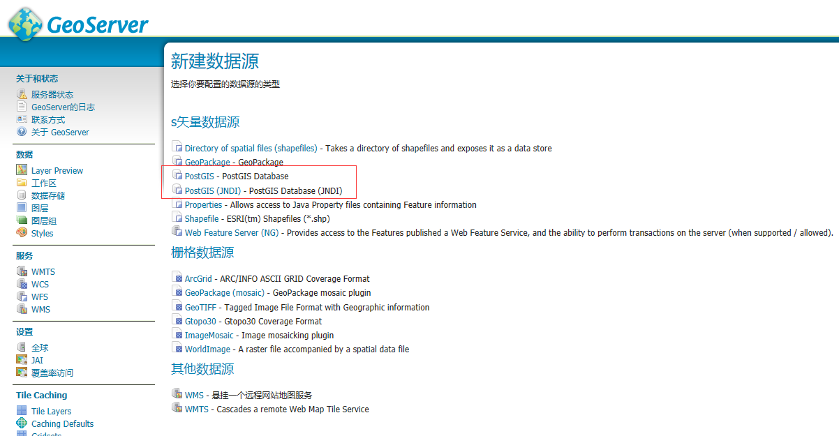
then restart the geoserver and go to Stores-> Add New Store, and you should see the new Raster data formats added to the list.


