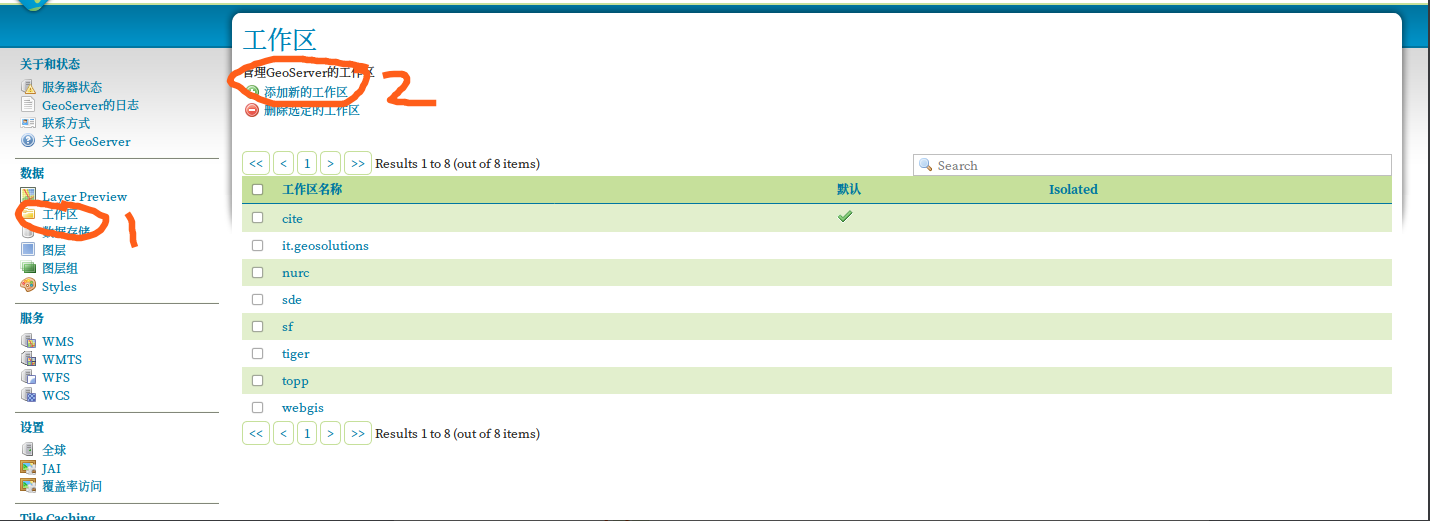
GEOSERVER多个图层一起显示
在Geoserver中做好发布后,多个图层显示,通过在Layers中增加参数,加逗号,如下面红色部分:
http://localhost:8080/geoserver/china/wms?service=WMS&version=1.1.0&request=GetMap[color=red]&layers=china:mysqlprovince_region[/color]&styles=&bbox=72.0,16.0,144.0,56.0&width=594
&height=330&srs=EPSG:4326&format=application/openlayers
http://localhost:8080/geoserver/china/wms?service=WMS&version=1.1.0&request=GetMap[color=red]&layers=china:mysqlprovince_region,china:mysqlprovince_point[/color]&styles=&bbox=72.0,16.0,144.0,56.0&width=594
&height=330&srs=EPSG:4326&format=application/openlayers
可以新建图层组,然后用下面信息
http://localhost:8080/geoserver/china/wms?service=WMS&version=1.1.0&request=GetMap[color=red]&layers=mysqlchina[/color]&styles=&bbox=72.0,16.0,144.0,56.0&width=594&height=330&srs=EPSG:4326&format=application/openlayers
转载自:https://blog.csdn.net/redsky200905/article/details/84376003