
基于openlayers3调用来自geoserver的切片地图服务
目录
基于openlayers3调用来自geoserver的切片地图服务
<!DOCTYPE html>
<html>
  <head>
    <title>Simple Map</title>
    <link rel="stylesheet" href="https://openlayers.org/en/v3.20.1/css/ol.css" type="text/css">
    <!-- The line below is only needed for old environments like Internet Explorer and Android 4.x -->
    <script src="https://cdn.polyfill.io/v2/polyfill.min.js?features=requestAnimationFrame,Element.prototype.classList,URL"></script>
    <script src="https://openlayers.org/en/v3.20.1/build/ol.js"></script>
  </head>
  <body>
    <div id="map" class="map"></div>
    <script>

    //WMS的边界范围
    var extent=[-8380176.806709324, 4846475.643831644,-8344030.356053375, 4886005.70620772];

    //添加切片数据源
    var map = new ol.Map({
        layers: [
          new ol.layer.Tile({
            source: new ol.source.XYZ({
              //切片数据已经部署在../tomcat/webapps/ 下
              url: 'http://localhost:8081/PhillyBaseMap/{z}/{x}/{y}.png'
            })
          })
        ],
        target: 'map',
        view: new ol.View({
          projection: 'EPSG:3857', //定义墨卡托投影
          zoom:4
        })
    });

    //重要
    map.getView().fit(extent, map.getSize());
    </script>
  </body>
</html>
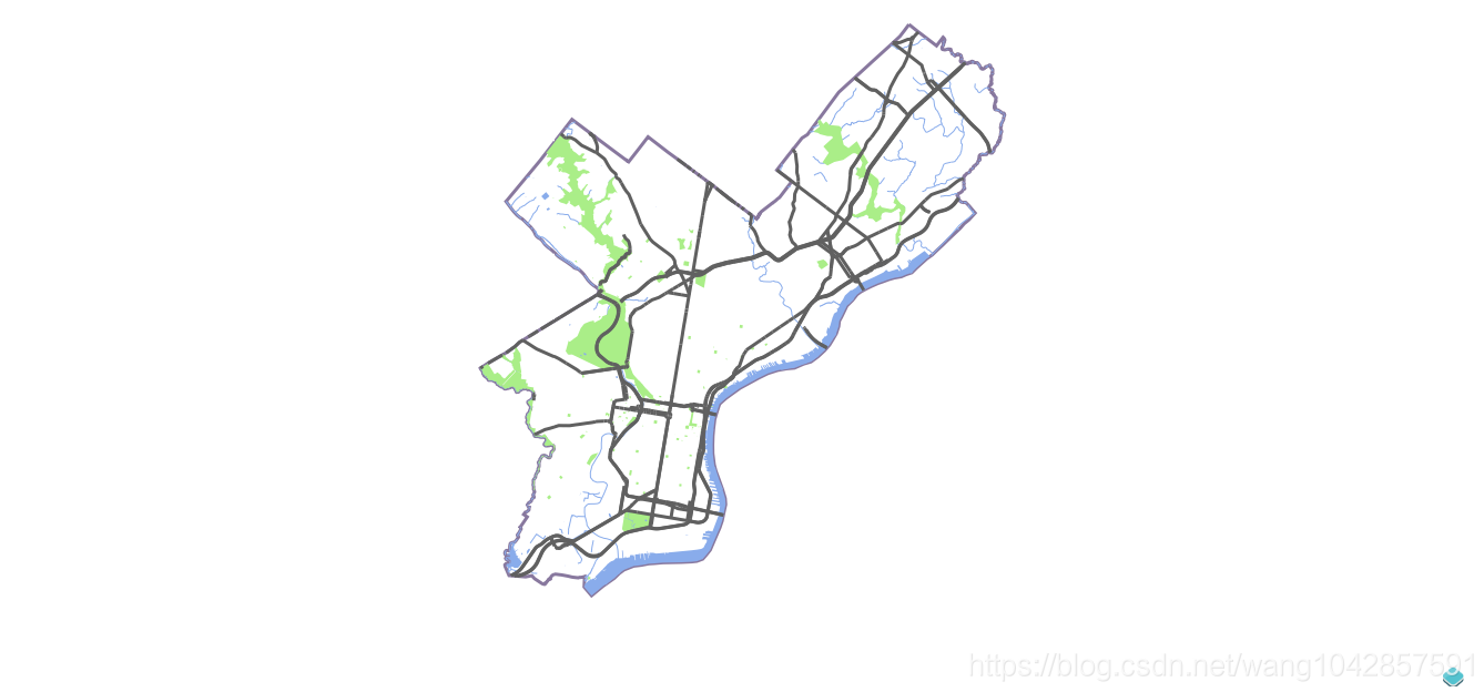
Done
转载自:https://blog.csdn.net/wang1042857591/article/details/83410891


