openlayers基本功能封装源码
使用openlayers加载geojson数据为ol.layer.Vector的ol.source.Vector数据源;
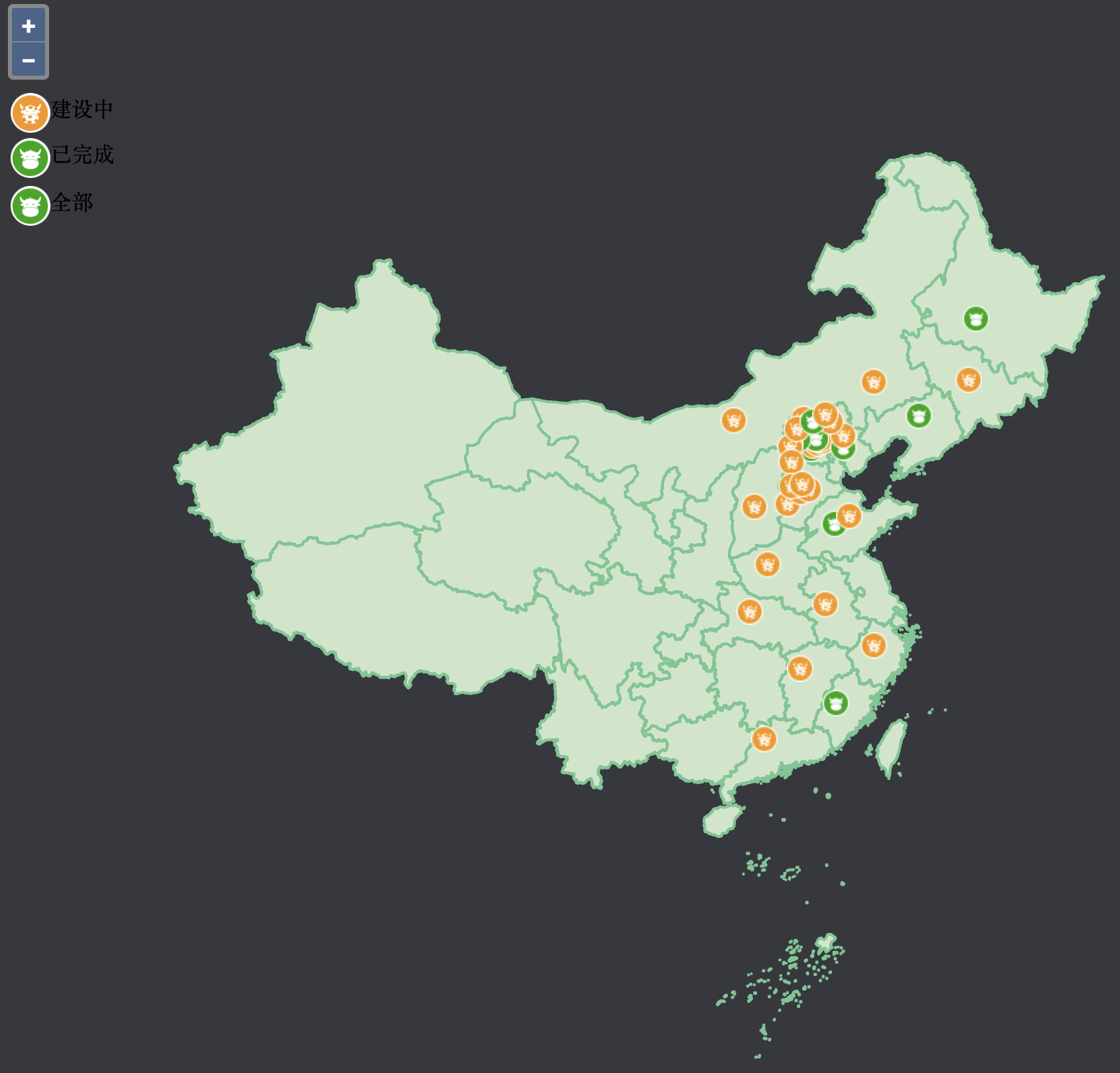
加载geojson点数据,根据属性设置不同图标ol.style.Icon;
实现鼠标移动到地图上点,弹出框显示要素信息,pointermove;
实现了空间查询,调用了forEachFeatureAtPixel查询指定图层要素

gis,openlayers,leaflet,gis应用,geoai,geoserver,cesium,python,arcpy,arcmap,webgis,gis可视化
GIS项目openlayers实例源码,leaflet实例源码,arcmap小工具源码下载,arcgis api for js源码下载
使用openlayers加载geojson数据为ol.layer.Vector的ol.source.Vector数据源;
加载geojson点数据,根据属性设置不同图标ol.style.Icon;
实现鼠标移动到地图上点,弹出框显示要素信息,pointermove;
实现了空间查询,调用了forEachFeatureAtPixel查询指定图层要素

