从tif格式的DEM中提取等高线并转换成Shapefile
打开Global Mapper,使用Global Mapper打开DEM.tif文件;
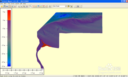
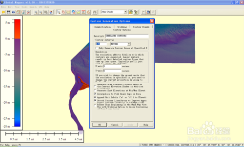
选择File|Generate Contours,在Contours Interval中输入1.5,即按照1.5m的间隔提取等高线。除此之外,一切采用默认数据,按下OK;
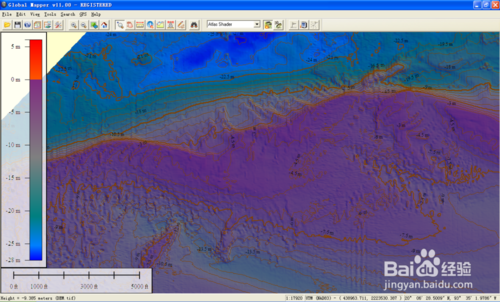
计算完成后,可以看到图中已经有间隔为1.5m的等高线;
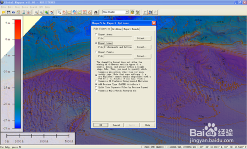
选择File
| Export Vector Data | Export File,(中途若有操作则选择默认参数),打开Shapefile Export
Options,在中Export Lines打勾,输出即可。
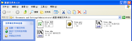
输出完毕之后,可以看到输出结果,共有4个文件;
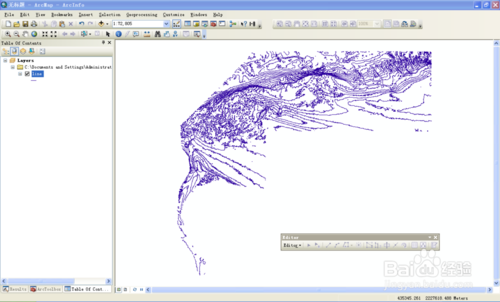
其中的shp文件就可以用ArcMap直接打开了,打开后的效果如图,至此完成生产任务。
END
转载自:https://jingyan.baidu.com/article/4853e1e5b996ac1909f7269e.html