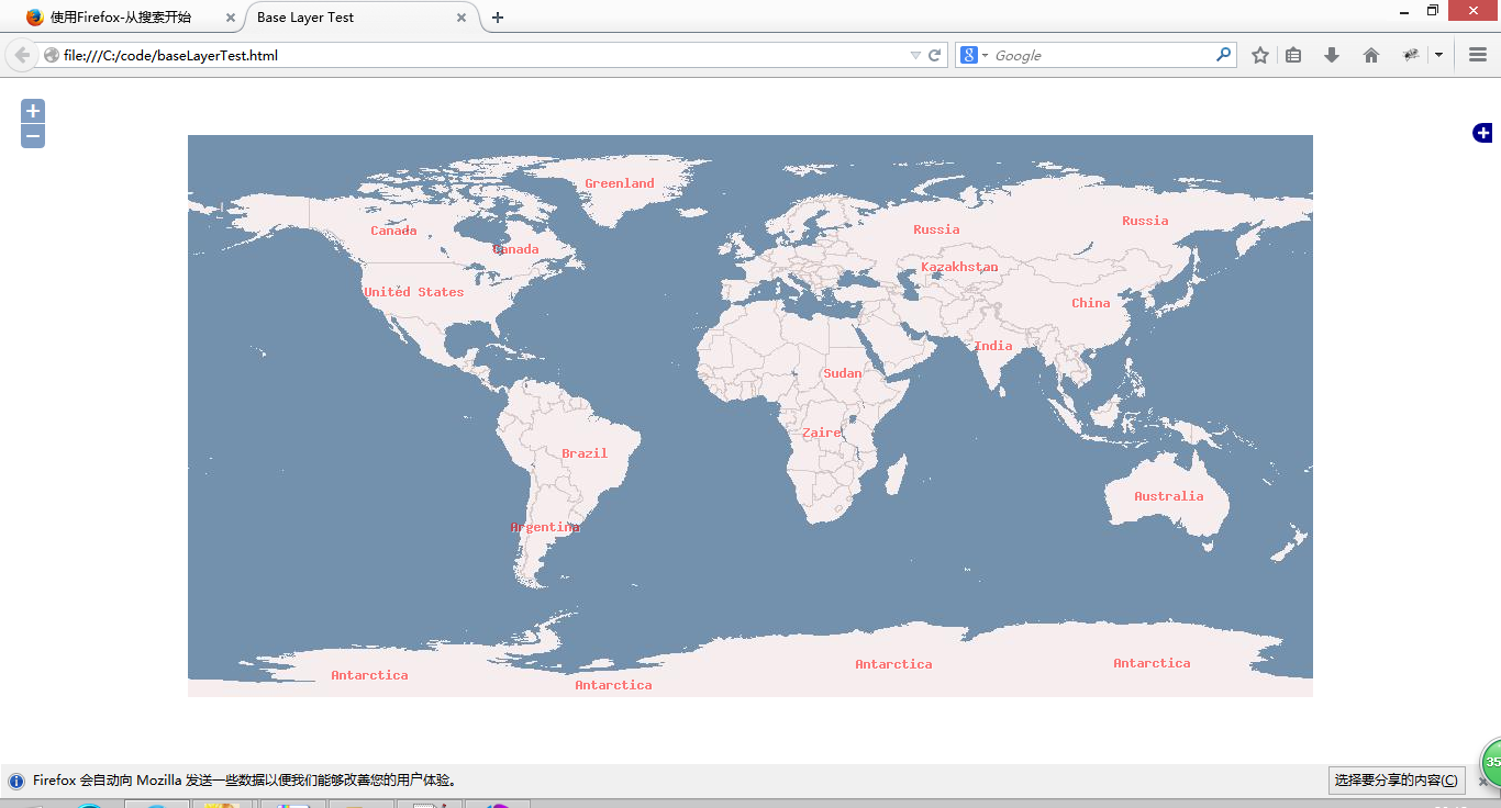
CartoDB source example——CartoDB数据源案例

A simple example with an anonymous cartodb map.
一个简单的匿名cartodb地图案例。
一个简单的匿名cartodb地图案例。
代码:
<!DOCTYPE html>
<html>
  <head>
    <title>CartoDB source example</title>
    <link rel="stylesheet" href="https://openlayers.org/en/v4.2.0/css/ol.css" type="text/css">
    <!-- The line below is only needed for old environments like Internet Explorer and Android 4.x -->
    <script src="https://cdn.polyfill.io/v2/polyfill.min.js?features=requestAnimationFrame,Element.prototype.classList,URL"></script>
    <script src="https://openlayers.org/en/v4.2.0/build/ol.js"></script>
  </head>
  <body>
    <div class="row-fluid">
      <div class="span12">
        <div id="map" class="map"></div>
        <div>
        <form class="form-horizontal">
          <label>
            Show countries larger than
            <select id="country-area" class="form-control">
              <option value="0" default>0 ㎢</option>
              <option value="5000">5000 ㎢</option>
              <option value="10000">10000 ㎢</option>
              <option value="50000">50000 ㎢</option>
              <option value="100000">100000 ㎢</option>
            </select>
          </label>
        </form>
      </div>
    </div>
    <script>
     // 地图设置
     var mapConfig = {
        'layers': [{
          'type': 'cartodb',
          'options': {
            'cartocss_version': '2.1.1',
            'cartocss': '#layer { polygon-fill: #F00; }',
            'sql': 'select * from european_countries_e where area > 0'
          }
        }]
      };

      // CartoDB数据源
      var cartoDBSource = new ol.source.CartoDB({
        account: 'documentation',
        config: mapConfig
      });

      var map = new ol.Map({
        layers: [
          new ol.layer.Tile({
            source: new ol.source.OSM()
          }),
          new ol.layer.Tile({
            source: cartoDBSource
          })
        ],
        target: 'map',
        view: new ol.View({
          center: [0, 0],
          zoom: 2
        })
      });

      // 根据下拉列表框中的面积来显示国家
      function setArea(n) {
        mapConfig.layers[0].options.sql =
            'select * from european_countries_e where area > ' + n;
        cartoDBSource.setConfig(mapConfig);
      }

      // 监听下拉列表框的change事件
      document.getElementById('country-area').addEventListener('change', function() {
        setArea(this.value);
      });
    </script>
  </body>
</html>转载自:https://blog.csdn.net/SmileCoffin/article/details/73840661


