
连幼儿园小朋友都能懂的地理配准介绍
本文是Esri Geonet社区的一篇文章,很有意思,分享给大家,原文作者MidnightYell2003【地理配准】在GIS应用中是一个比较常用的工具,但如何向他人介绍这个工具并让对方理解呢?或许你可以尝试下作者使用的方法,假设你在给一个五岁的小朋友介绍,你会从何说起?
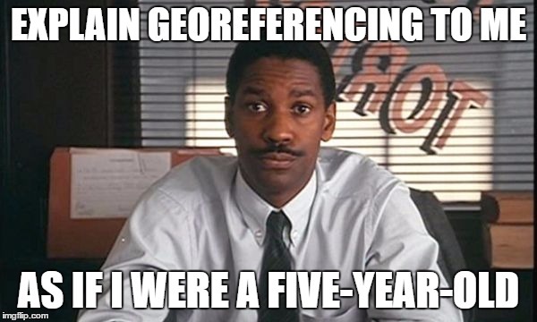
I really liked how Denzel Washington used the phrase “explain this to me as if I were a xxx-year-old” in the moviePhiladelphia (1993).
Reference:Philadelphia. Philadelphia, PA: Jonathan Demme, 1993. film.
So, I will take it one step further and attempt to explain the concept ofgeoreferencingto an actual five-year-old.
开始表演,我将向一位五岁的小公举介绍【地理配准】的概念,先有请我们的女一号。
Five-year-old:

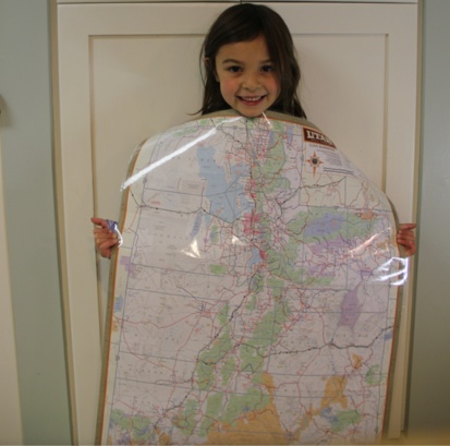
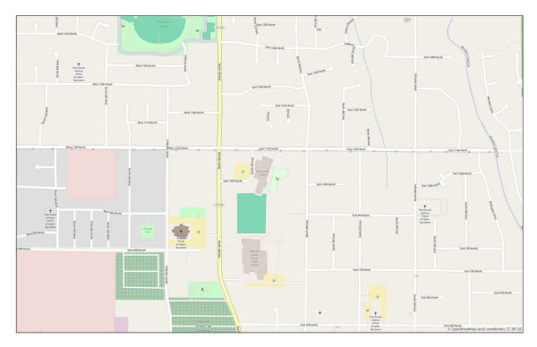
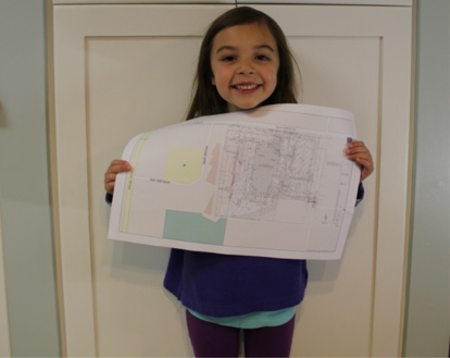
Five-year-old engineer says, “I have this PDF of a site plan. I want to put this on a map and have it line up properly.”
小公举说到,我有一份关于选址规划的pdf文件,想把它放到地图上的正确位置上,应该怎么办呢?这是我的文件打印稿。

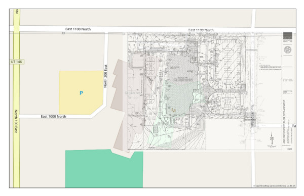
Here is my map.
这是我现有的地图
We need to zoom in a little bit closer.
我们把地图放大下看看

A little bit more.
再放大一下。
Almost there. Zoom in some more so that our site plan will fit better.
差不多就是这了,再放大一点以便我们所选的地址能够更好地与之匹配。


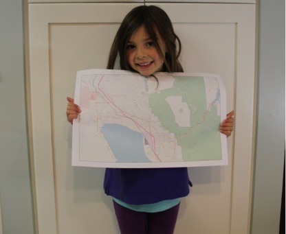
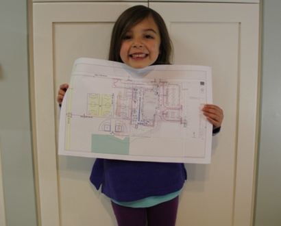
Much better. Now, we need to shrink the site plan to a more usable size. Currently, it’s larger than our map.
现在好多了,接下来我们需要将选址规划图压缩至一个合适的大小,现在它比我们的地图太大了。
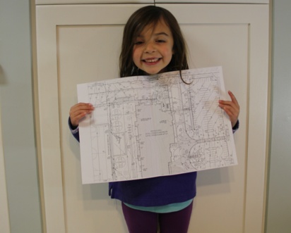
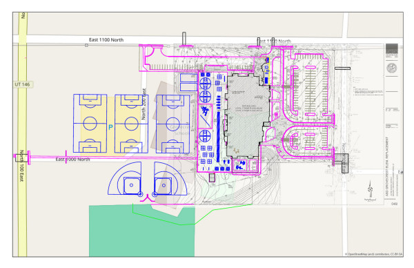
Let’s make it a little bit smaller.
让我们将其压缩得小一点。
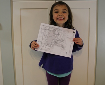
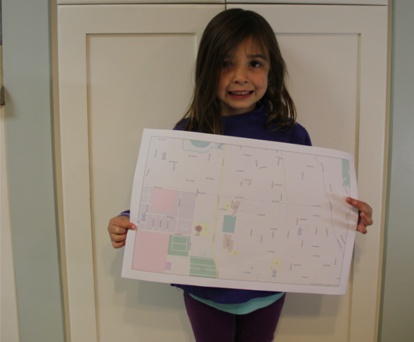
Perfect. Now we need to place the site plan on our zoomed in map and adjust it to fit by rotating it and resizing it.
完美。现在我们可以将选址规划图放置在放大了的地图上了,可以通过旋转、缩放等操作使其匹配。
Great! Now, after some quality control of adjustments and transformations, we can rectify this image and call it georeferenced!
太棒了。经过一些控制点的修正,现在我们可以将这个规划图与地图无缝地叠加到一起了。这个处理的过程就叫做【地理配准】。


OSM 1:1,050 with Image
We can make the georeferenced image transparent to where we can see the basemap behind it.
我们可以将为配准后的规划图设置一定的透明度,以便我们能够看到底图数据。
OSM 1:1,050 with Image, Transparency 50%
Finally, we can add existing linework and other GIS files to give the image a more solid reference.
最后,我们可以添加一些线划图和其他的GIS文件,为规划图提供更为可靠的参照。
OSM 1:1,050 with Image, Transparency 50% and Linework
作者原文:Explain Georeferencing To Me as If I Were a Fiv…
更多有趣好玩的内容,欢迎到【GISer入门】知识星球(ID:95510728)中进行探索。

