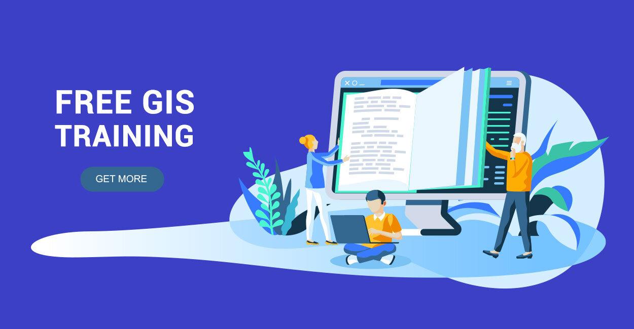
Free GIS Training For Beginners
Geospatial technology is growing at a rapid pace, and there’s no shortage of opportunities in the industry. Whether you want to improve your cartography, database administration, or develop applications, there are tons of free GIS training opportunities.
If you’re just getting started, you might be wondering where you should begin. The good news is that with a little bit of research, you can learn to work with geospatial technology without spending a fortune.
More good news: You don’t need any specialized training to get started. You just need access to a workstation and an internet connection to begin learning from these free GIS training resources.
In this article, you’ll discover the best free GIS training for beginners. From basic cartography to advanced map-making, you’ll find everything you need to get started in the geospatial industry.
For the Book Worm
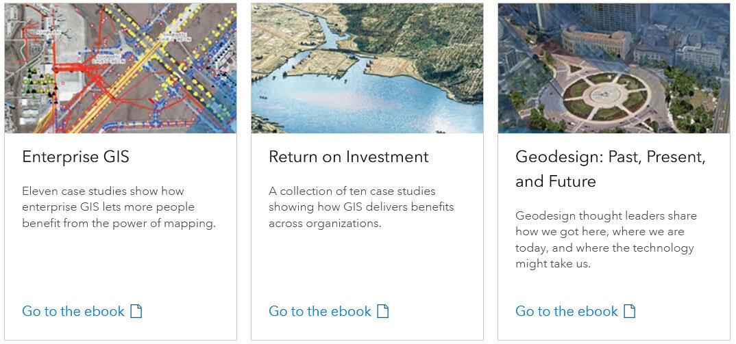
One of the most popular ways to learn a new skill in GIS is the free books by Esri. From databases to geodesign, they cover a large scope of material. But it’s especially useful because it fits a wide range of experience levels. No matter if you’re a beginner or advanced user, there are dozens of free Esri books here that will teach you from the ground up.
For the DIYer
Hands-on learning is about rolling up your sleeves and getting to work. This is especially true for learning how to code. Through hands-on coding practice, you can hone your programming skills and get comfortable with the syntax. Although it can be difficult at first, you don’t have to be an expert coder to get started learning. Try out these free Python courses with DataCamp, Dataquest, or Codecademy.
For the Traditional Learner
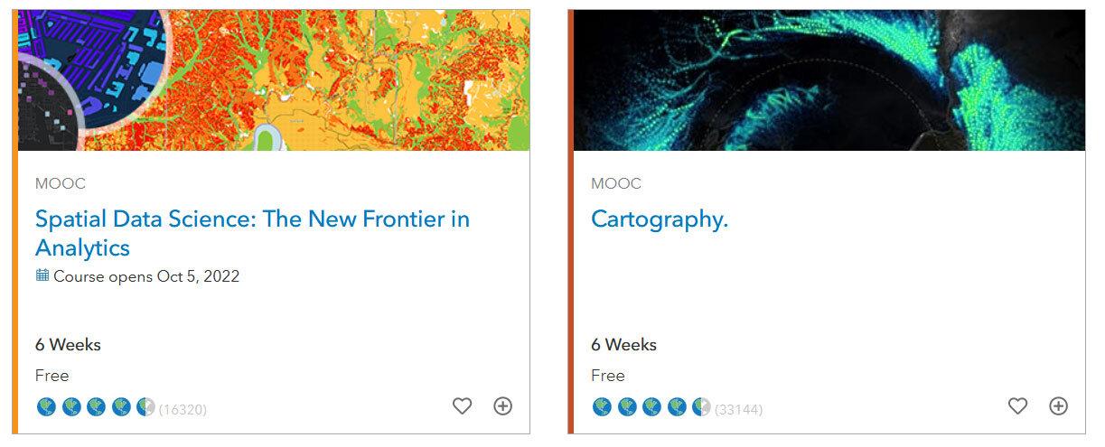
If you’re looking for a more structured experience, Esri MOOC (Massive Online Open Course) is a great option. Each MOOC has videos, reading material, and quizzes. From basic cartography to advanced geoprocessing, they’re all self-paced so you can learn on your own schedule. Also don’t forget to try out the free courses that are available on EdX, Coursera, and Udemy.
For the Listener
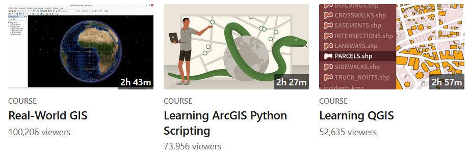
Another popular resource for learning GIS and mapping software is LinkedIn Learning. These programs offer a series of video tutorials and interactive material on a variety of topics. This is a great option for beginners who want to get started learning with industry-standard tools like ArcGIS and QGIS. Although not all are free GIS training, remember that GIS certification is another way to level up your skills.
For Webinar Viewers
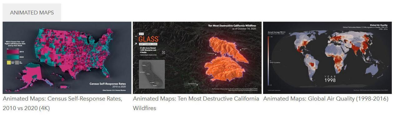
The Esri 360 video library has a wealth of GIS-related webinars and videos. Even though Esri designed the videos to appeal to their products and audiences, there is still a lot you can take away from them. But if you want to shy away from Esri, then FME also offers a catalog of their free FME webinars. These are especially informative if you want to learn spatial ETL.
Free GIS Training
As you can see, there are plenty of options for free GIS training to help you get started in the geospatial industry. But the important thing to keep in mind is that you don’t have to spend a lot of money (or none at all!) to get started.
Like many other fields, geospatial technology is a broad term that describes a variety of skills. The best way to think of it is as a subfield of geography that focuses on software and hardware used in the field of map making and spatial analysis.
This can include things like GIS software, GPS technology, satellite imagery, topology, and cartography. As such, there are so many opportunities for free GIS training.
Don’t ever forget there’s no finish line to success in the field of GIS. Any of them may be what you need to become a well-rounded, successful GIS professional.